Since the beginning of the new Israeli escalation on 2 March 2026 until the morning of 17 April, 20 shelters were opened in Tripoli district, accommodating around 1,900 displaced persons across 449 families, with most centres reaching full capacity. Although displacement in 2026 was higher and faster than in 2024, fewer shelters were opened compared to 2024 (over 35), and all shelters in both years were limited to public school buildings.
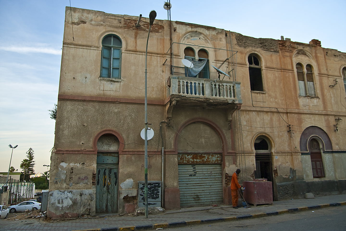
The spatial distribution of shelters is highly uneven, concentrating in the most socio-economically and physically vulnerable neighbourhoods, particularly those with collapsed or at-risk buildings, while wealthier and lower-density neighborhoods remain largely excluded despite available vacant housing stock. This uneven geography reinforces urban inequalities by concentrating pressure in already vulnerable areas and relying heavily on a limited and unsustainable shelter model based on schools.
At the same time, Tripoli’s role as a destination for displacement is shaped by regulatory constraints and local municipal requirements for reporting and control, which limit other forms of hosting, alongside displaced populations’ preference for remaining close to their places of origin to maintain potential return.
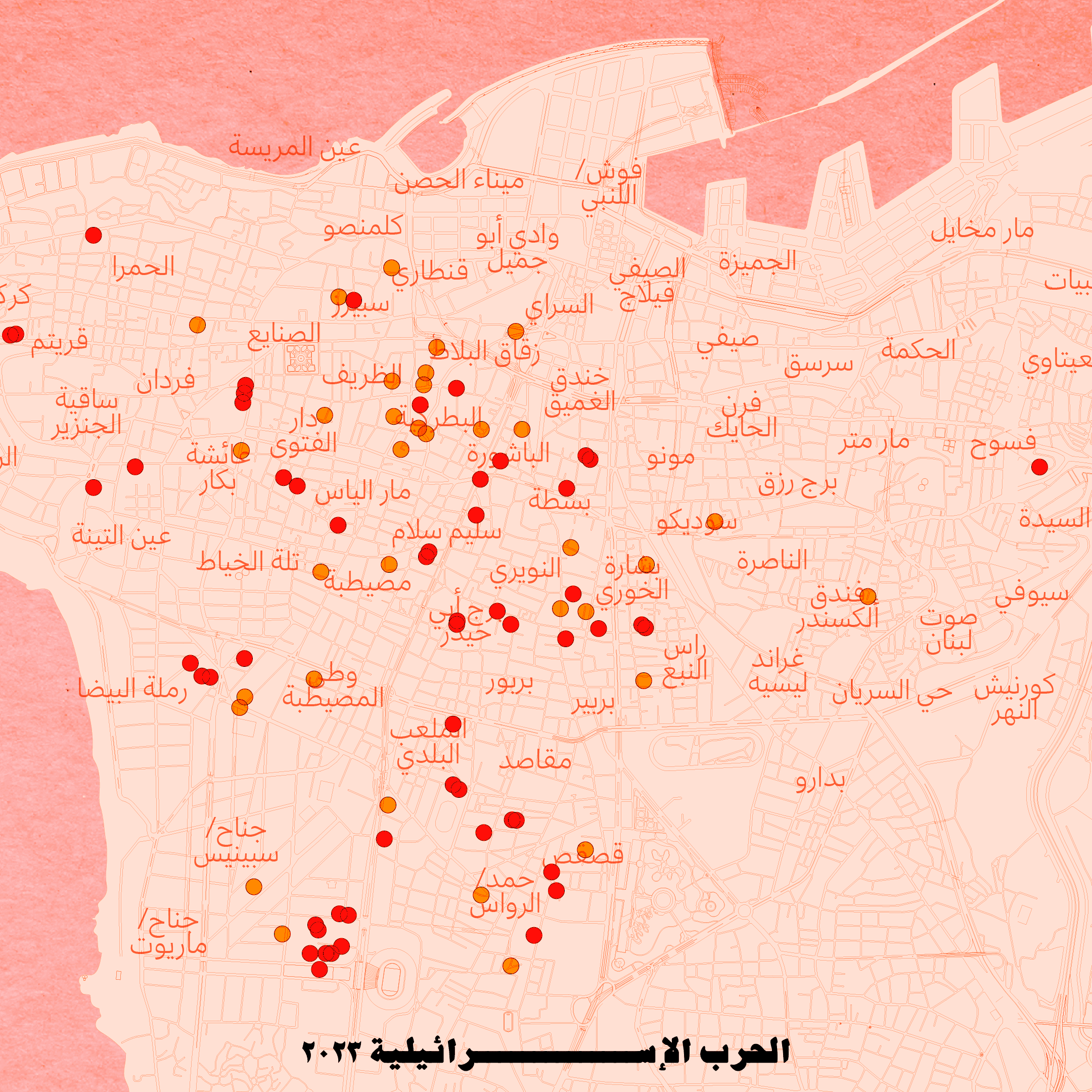
Overall, the case of Tripoli reflects a pattern similar to Beirut, where displacement response systems reproduce rather than address existing spatial and social inequalities, resulting in an uneven distribution of pressures within the city along sectarian lines (in Beirut) or class lines (in Tripoli), disproportionately putting pressure on already vulnerable urban areas.