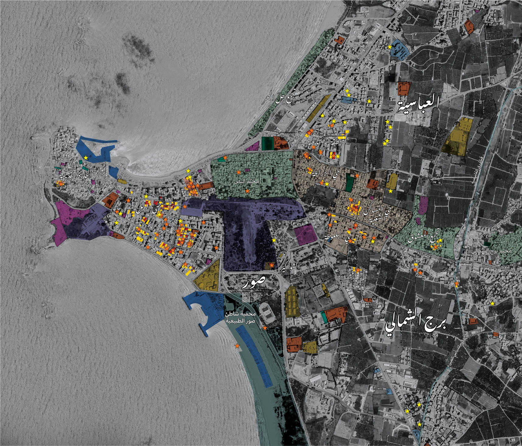
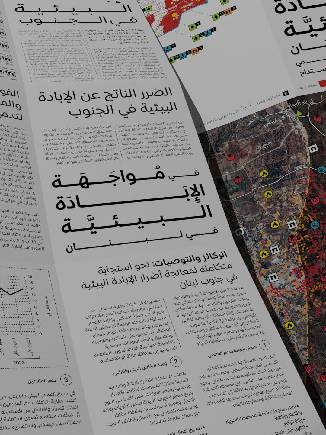
Mapping, beyond its function as territorial representation, can operate as a form of testimony that renders visible the spatial and temporal patterns of violence often obscured in fragmented accounts. This article uses mapping as a method of testimony based on approximately three years of monitoring Israeli attacks on Lebanon. It reads patterns of bombardment, displacement, environmental destruction, and attacks on civilian infrastructure to understand how violence operates spatially through control, exclusion, and territorial transformation.